 Click
on image for enlargement.
Click
on image for enlargement.
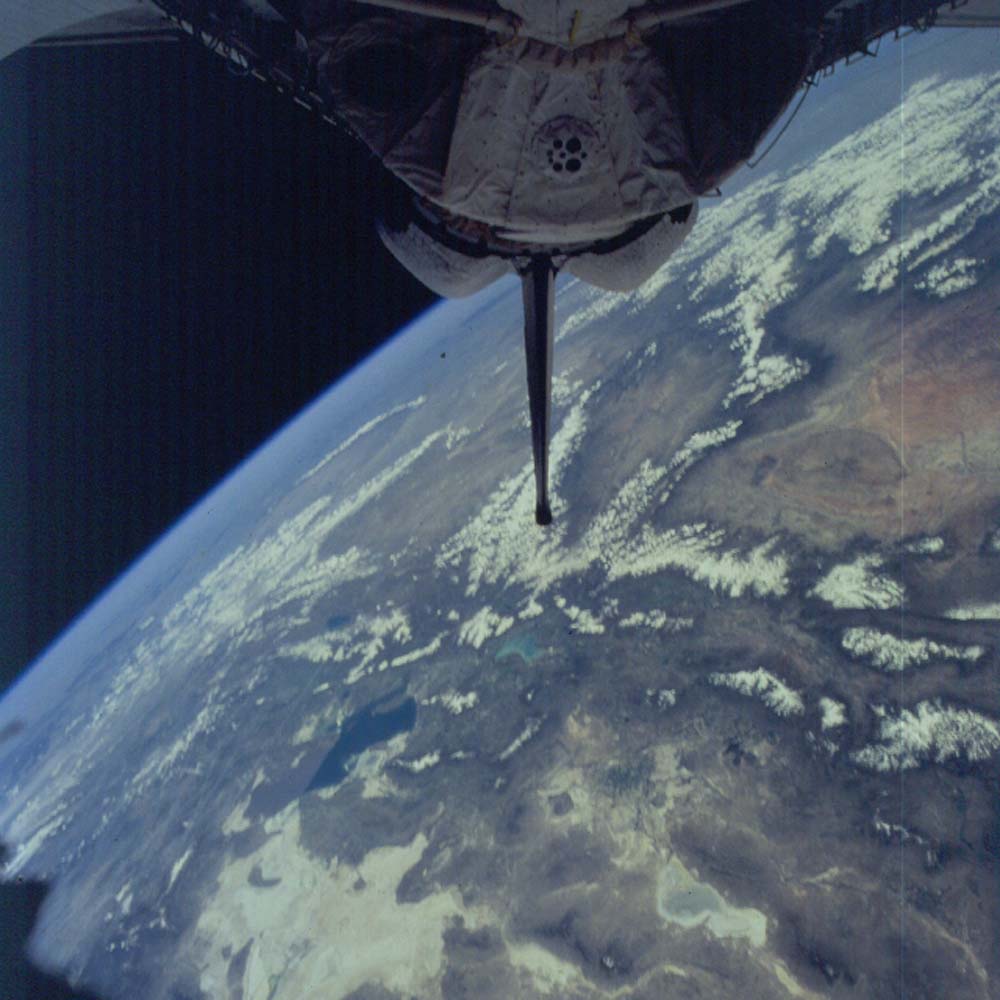
Figure 6. Photograph 90-754-022. View north along the boundary of the Colorado Plateau (right) and the Basin and Range Province (left). The south half of Great Salt Lake is the dark water patch. The north half is the brown patch beyond the straight line edge that marks the railroad embankment across the lake. The tip of the Shuttle tail marks the Wasatch Mountains above Salt Lake City. Behind the tail are the Uinta Mountains. Beyond near the left base of the tail are the Black Hills in South Dakota.