 Click on
image for enlargement.
Click on
image for enlargement.
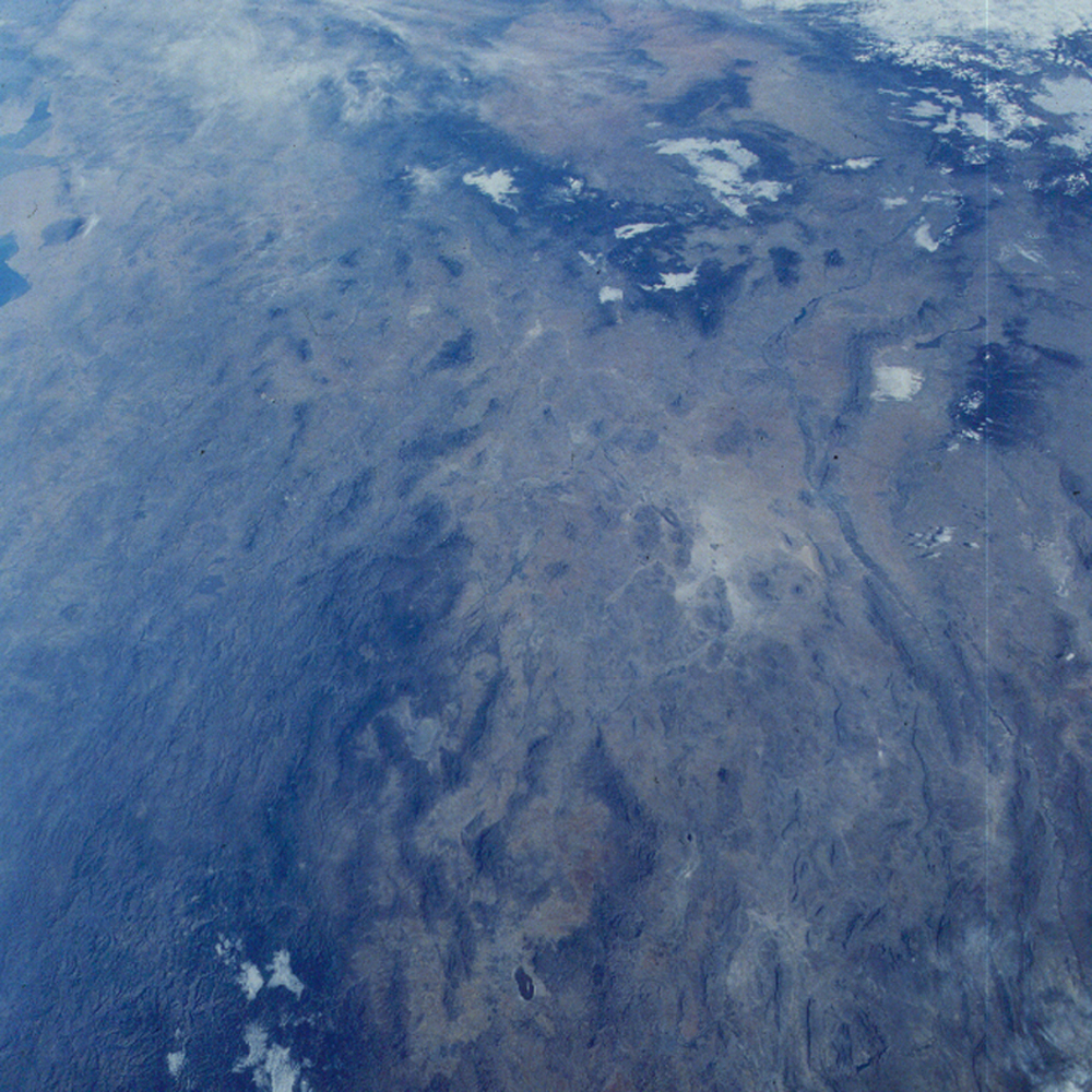
Figure 2. Photograph 31-77-070.
View northwest across Chihuahua, Mexico to the Salton Sea (near upper left edge); Mogollon Rim of central Arizona (upper middle); to White Sands (bright white spot near right edge); south to El Paso (where the dark mountains just to the left of the White Sands and the dark band to the west of that (the Rio Grande) join and turn toward the lower right). The Rio Grande extends down along the right edge to Presidio where the river bends right and leaves the frame.
This wide expanse was photographed on the mission that launched the Hubble Space Telescope at 240 miles up. That is the effective height that the Shuttle can go, it normally orbits at heights about one-half as high. This is one frame of a series taken on this orbit covering the band from the Pacific coast of Baja California east to northern Mexico and west Texas.