Click on colored area (or line) or Figure number to view specific image.
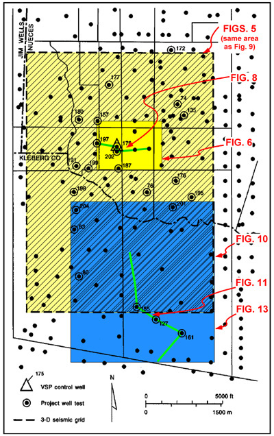
Figure 2--Map of Stratton field area, showing well locations and 3-D seismic grid.
Click on colored area (or line) or Figure number to view specific image.
Figure 2--Map of Stratton field area, showing well locations and 3-D seismic grid.