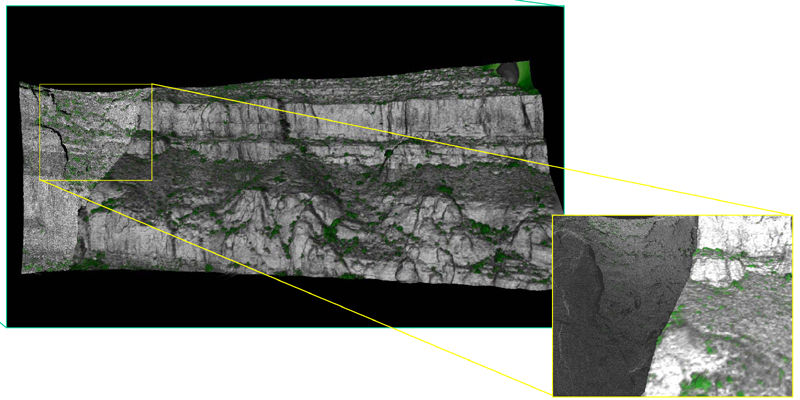
Figure 4-6. Images from area of Victorio Canyon shown in Figure 4-5. Those in yellow and green boxes are moderate resolution TIN and intensity images generated from the ILRIS point cloud data. The inset box shows transition between TIN and point cloud and detail of the green “coded” vegetation.