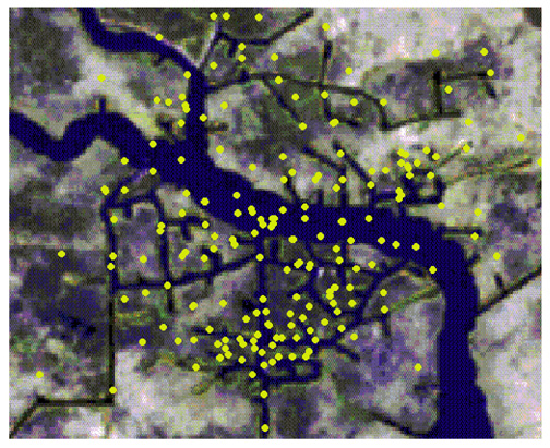
Figure 13—LandSat image superimposed on a southern Louisiana base map of wells (includes data supplied by Petroleum Information/Dwights).
Figure 13—LandSat image superimposed on a southern Louisiana base map of wells (includes data supplied by Petroleum Information/Dwights).