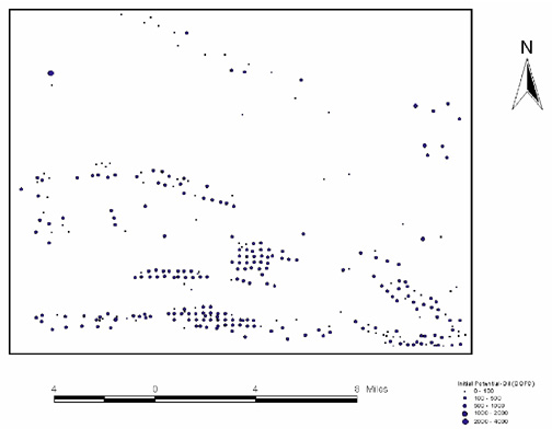
Figure 9—A southern Louisiana base map showing wells classified according to initial oil potential (includes data supplied by Petroleum Information/Dwights).
Figure 9—A southern Louisiana base map showing wells classified according to initial oil potential (includes data supplied by Petroleum Information/Dwights).