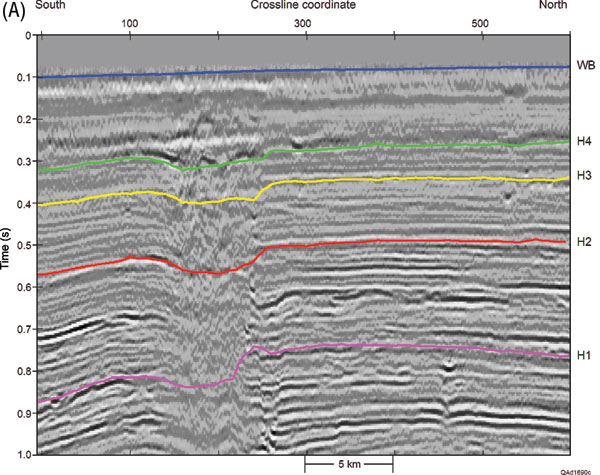
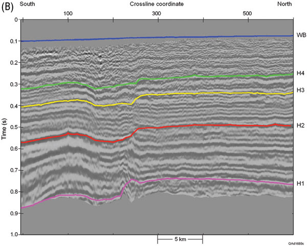
Figure 1. (a) P-P profile and (b) P-SV profile traversing a 4C/3-D data-acquisition area in the Gulf of Mexico. Geomechanical properties will be evaluated across the layer bounded by the seafloor (horizon WB) and interpreted horizon H4. The P-SV data are time warped to P-P image-time coordinates.