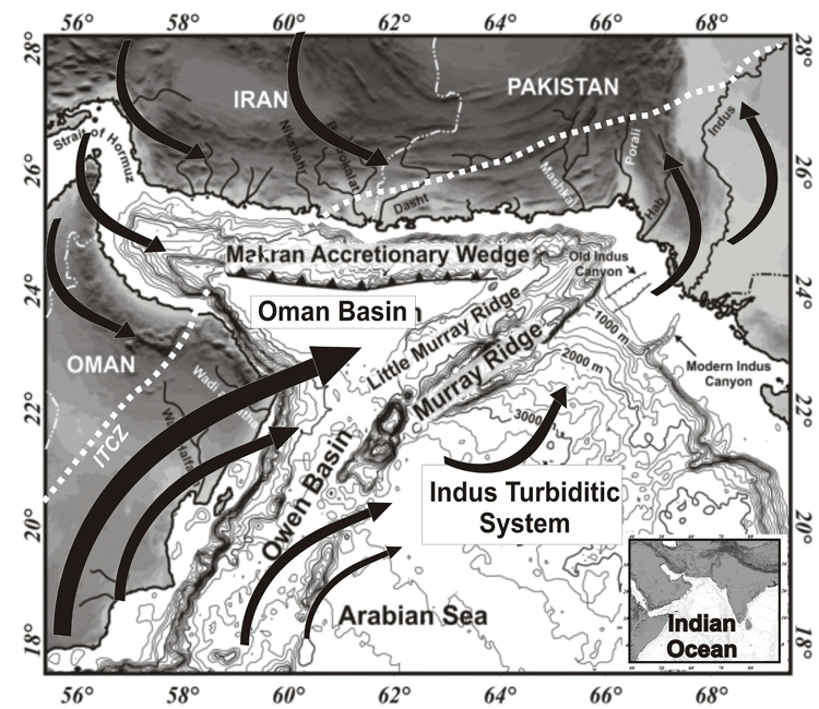
Figure 1.
Localization of the study area, 100-m-spaced bathymetric contours
(source:
ETOPO2 data), and limiting position of the Intertropical Convergence
Zone
(ICTZ, white dashed line). Black arrows indicate the main wind
directions
during summer monsoon (after Fleitmann et al., in press).