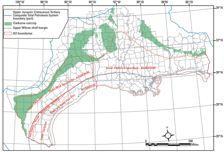
Figure 28. Map showing extent of Lower Claiborne assessment units. AU = assessment unit. Claiborne Group outcrop from Schruben et al. (1994); Wilcox shelf margin from Galloway et al. (2000).
Figure 28. Map showing extent of Lower Claiborne assessment units. AU = assessment unit. Claiborne Group outcrop from Schruben et al. (1994); Wilcox shelf margin from Galloway et al. (2000).