Click on image to enlarge.
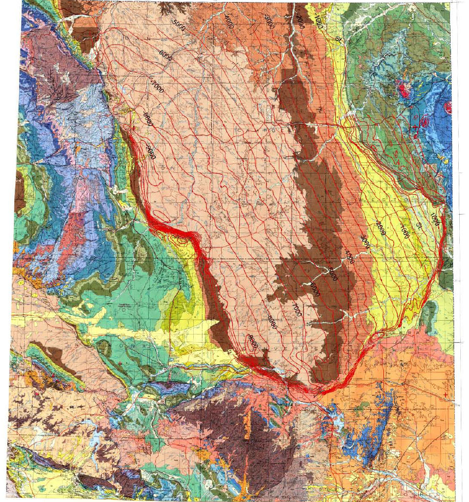
Figure 26a. West of the Powder River Basin, no large thrust fault has been mapped that raised a mountain range and would have depressed the crust to form the basin, as shown by structural contours on top of Dakota and geologic map.