Click on image to view enlargement.
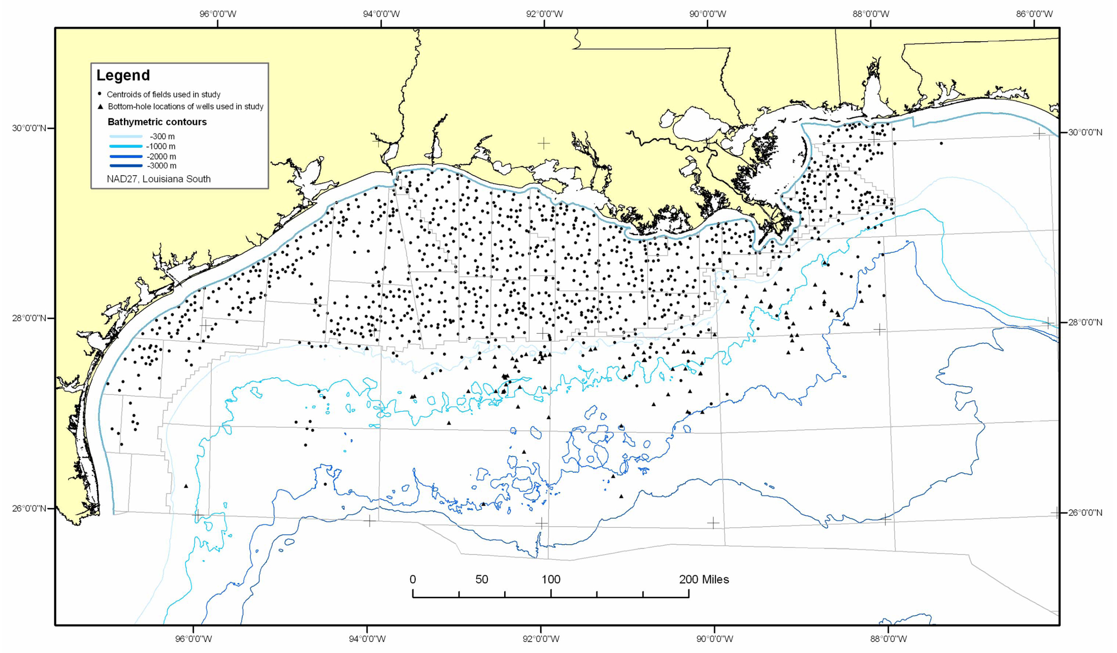
Figure 4. Location of fields and wells used in calculating geothermal gradients and BMLD300 values. Field locations from MMS Atlas of Northern Gulf of Mexico Gas and Oil Sands (2001); well locations from MMS Borehole File.