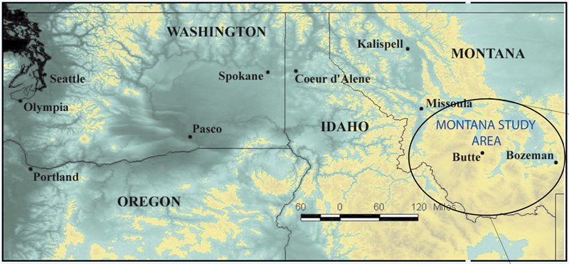
 Location maps. Southwestern Montana – the initial study area - with selected
valleys identified on a digital relief image of southwestern Montana (Montana
State Library, NRIS data bank, 2001). The valleys of southwestern Montana
contain Cenozoic rocks and sediment. The strata are largely of fluvial origin,
although volcanic and eolian deposits also are a part of the Cenozoic rock
record. The valleys are typically segmented into individual basins, with some
basin-fill attaining thicknesses of approximately 5000 meters.
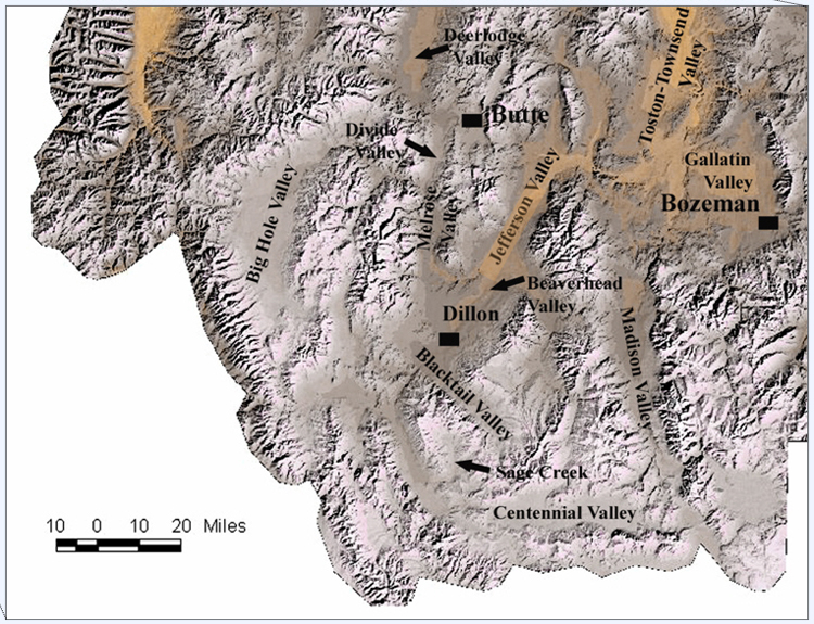
Location maps. Southwestern Montana – the initial study area - with selected
valleys identified on a digital relief image of southwestern Montana (Montana
State Library, NRIS data bank, 2001). The valleys of southwestern Montana
contain Cenozoic rocks and sediment. The strata are largely of fluvial origin,
although volcanic and eolian deposits also are a part of the Cenozoic rock
record. The valleys are typically segmented into individual basins, with some
basin-fill attaining thicknesses of approximately 5000 meters.