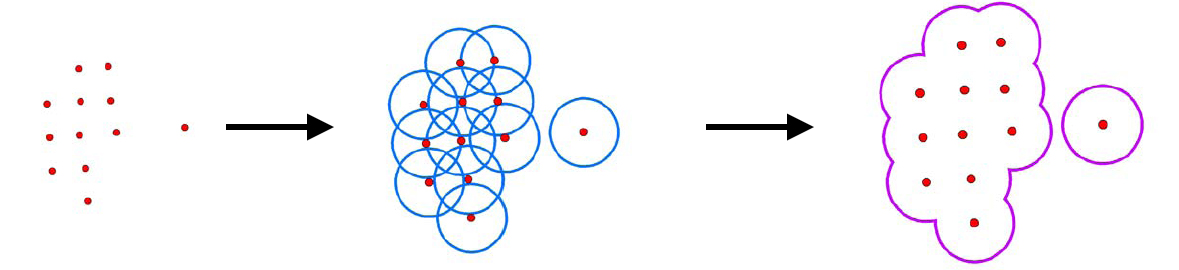
Figure 3. Buffering of wells in GIS to form field outline—well spots to wells with radius corresponding to well spacing to field outline.
Figure 3. Buffering of wells in GIS to form field outline—well spots to wells with radius corresponding to well spacing to field outline.