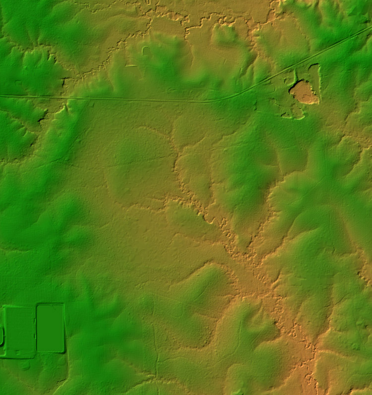
Figure 2. A digital elevation model of LIDAR (Light Detection and Ranging) data from the southwest quarter of the Greensburg 7.5-minute quadrangle; downloaded from the Atlas: The Louisiana Statewide GIS website (http://atlas.lsu.edu) and viewed with MacDEM Viewer.