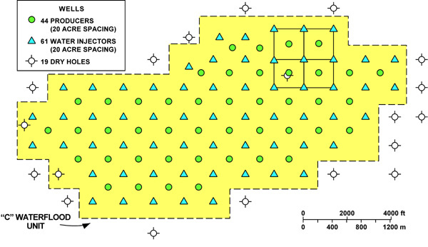
Figure 14. Map showing the expanded 20-acre, 5-spot waterflood injection pattern beginning in late 1980. San Andres “C” waterflood unit, Permian basin, Texas.
Figure 14. Map showing the expanded 20-acre, 5-spot waterflood injection pattern beginning in late 1980. San Andres “C” waterflood unit, Permian basin, Texas.