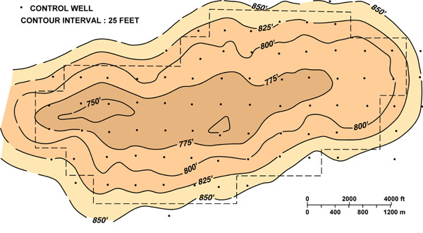
Figure 4. Structure map on top of the San Andres Reservoir, “C” waterflood unit, Permian basin, Texas. Note the gentle anticline with four-way closure.
Figure 4. Structure map on top of the San Andres Reservoir, “C” waterflood unit, Permian basin, Texas. Note the gentle anticline with four-way closure.