 Click
on image for enlargement.
Click
on image for enlargement.
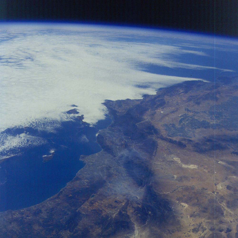
Figure 9. Photograph 51F-38-0043, The San Andreas fault extends straight away from us in this beautiful view of Southern California (Even the smog is relatively light and concentrated in two patches- one near Riverside {close to us} and the other in the San Fernando Valley. The fault cuts through the mountains (San Bernardino on the right, San Gabriel on the left) , then along the southern edge of the Mojave Desert and beyond along the west side of the San Joaquin Valley and northward along the east side of Monterey Bay (near top right edge). Tiny finger of cloud is entering the bay from the left.
The offset of the San Gabriel Mountains (left) from the San Bernardino Mountains (right) was long thought to be the offset of the San Andreas fault. The paper by Mason Hill and Tom Dibblee (1953) showed that was wrong! The tan-colored valley in the center foreground is bounded on the right (east) by the San Jacinto fault, which splays from the San Andreas in Cajon Pass (above the smog band), and by the Elsinore fault on the left (west). Both of these faults are right-handed strike-slip faults. The Elsinore fault makes a right-step that formed a pull-apart basin, now occupied by Lake Elsinore. They run into the Santa Monica and San Gabriel faults that lie at the base of the east-trending mountain ranges of the same name.
The Mojave Desert is bounded on the north side by the Garlock fault which marks the southern end of the Sierra Nevada and continues east off the view to the southern end of Death Valley.