
Click image for enlargement.
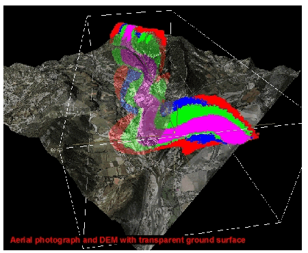
Figure 10. The surfaces can be combined to build zone models of the outcrop, grouping elements with similar facies. These zone models can then be populated with physical properties, derived either from the outcrops themselves, or more realistic production values from subsurface analogs. In this figure, the zone model can be seen in relationship to the aerial photograph and DEM, first with a transparent ground surface (A), and then with an opaque surface (B).