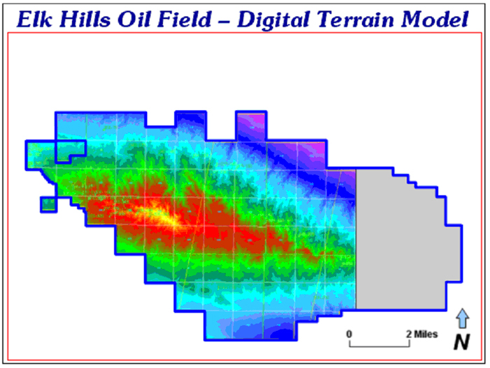
Figure 2: Digital terrain model showing extreme topographic variations. Yellow and red denotes higher elevations and blue lower elevations.
Figure 2: Digital terrain model showing extreme topographic variations. Yellow and red denotes higher elevations and blue lower elevations.