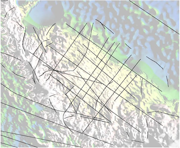
Figure 7: Some of the curved flight "lines" over the Antarctic peninsula and Larson ice shelf. Many of the other lines that appear straight at this scale are actually zig-zagged to repeat earlier swaths of laser scanner data.
Figure 7: Some of the curved flight "lines" over the Antarctic peninsula and Larson ice shelf. Many of the other lines that appear straight at this scale are actually zig-zagged to repeat earlier swaths of laser scanner data.