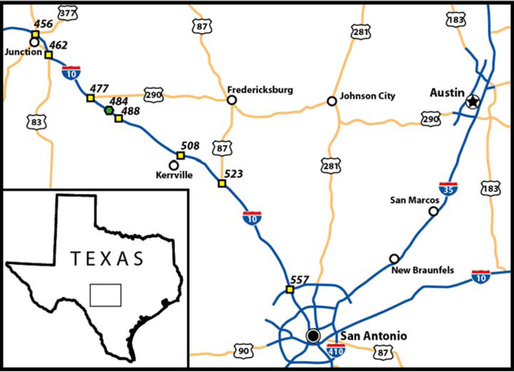
Figure 1. Index map of the Junction-Kerrville area, Texas. This paper focuses on those structures exposed in road cuts at mile marker 484, indicated by green hexagon. Yellow squares indicate major exits.
Figure 1. Index map of the Junction-Kerrville area, Texas. This paper focuses on those structures exposed in road cuts at mile marker 484, indicated by green hexagon. Yellow squares indicate major exits.