Print this page
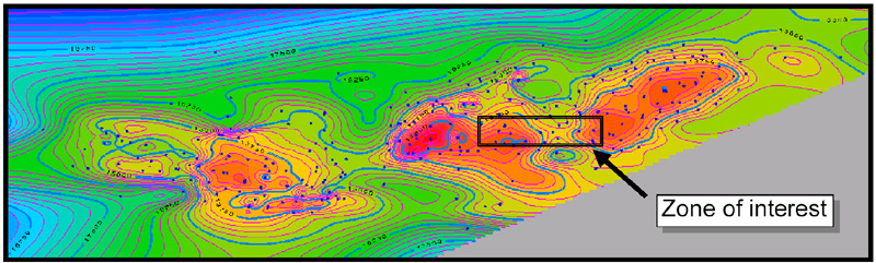
Figure 4.1. Map of Furrial trend, showing zone of interest. Well locations and depths correspond to official faults.