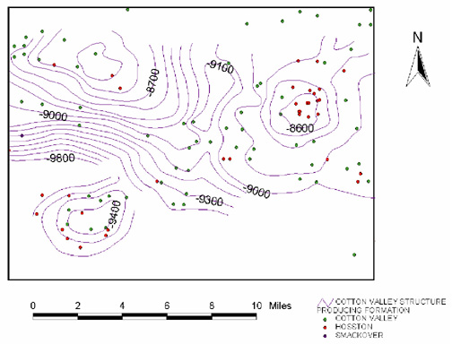
Figure 6—A northern Louisiana Cotton Valley structure map integrated with wells restricted to three producing formations (includes data supplied by Petroleum Information/ Dwights).
Figure 6—A northern Louisiana Cotton Valley structure map integrated with wells restricted to three producing formations (includes data supplied by Petroleum Information/ Dwights).