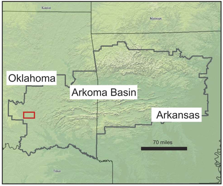
Figure 1-1. A topographic map of central United States. The approximate extent of the Arkoma Basin is outlined in bold, with the study area indicated by a red box on the western side of the basin (Perry, 1995).
Figure 1-1. A topographic map of central United States. The approximate extent of the Arkoma Basin is outlined in bold, with the study area indicated by a red box on the western side of the basin (Perry, 1995).