Interpretation of a 3-D 9-Component Survey Over Ismay Algal Mounds, Paradox Basin, Colorado*
By
Paul La Pointe1, Robert Benson2, Rich Van Dok3, James Gaiser3, and
Claudia Rebne4
Search and Discovery Article #40206 (2006)
Posted August 3, 2006
*Oral presentation at AAPG Annual Convention, Houston, Texas, April 9-12, 2006
![]() Click to view
presentation in PDF format (8.8 mb).
Click to view
presentation in PDF format (8.8 mb).
Note: If pages 22-25 and 27-36 are viewed in rather rapid succession, there is simulated animation.
1Golder Associates Inc, Redmond, WA ([email protected])
2Colorado School of Mines, Golden, CO
3WesternGeco, Denver, CO
4Legacy Energy, Denver, CO
Abstract
Algal mounds have little structural expression, a small target size (a few hundred acres) and complex internal reservoir geometries. Advances in exploration and development success in these mounds have often occurred through advances in seismic technology. A joint project funded by the US Dept. of Energy and the Southern Ute Tribe's Red Willow Production Co. acquired a 9-component 3D survey, along with 3D Zero-offset VSP, over the Roadrunner Field and surrounding acreage in the Paradox Basin on the Ute Mountain Ute reservation in southwestern Colorado. The goals of the project were to evaluate how well 3D9C data can improve exploration success and the reservoir description of the mounds' internal variations of porosity, permeability and fluid content, and also to develop and refine processing and interpretation strategies.
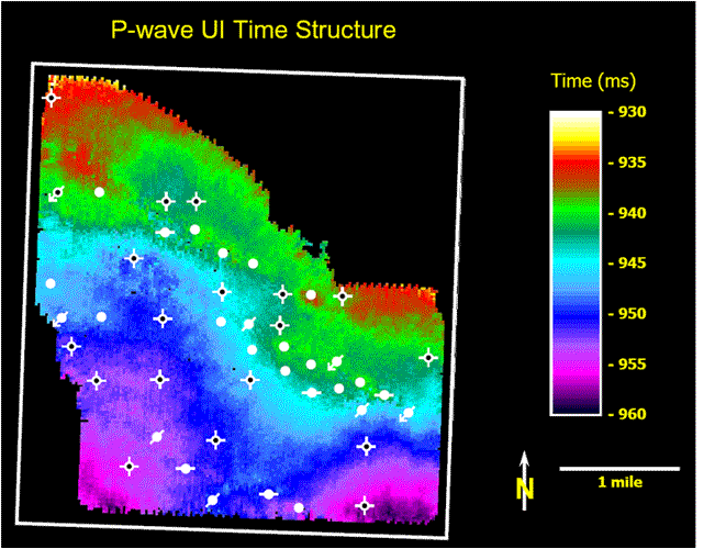
Several different processing strategies and interpretation methods were applied to the data. The results from the survey show that the P-wave data provides good depiction of the external mound geometry, but little information about the internal structure. The PS- and SS-wave data, however, do reveal aspects of the internal mound structure. Examples of different processing streams, derived attributes, and their relation to mound geology are presented. Based on these maps, wells were located and the results of drilling are presented.

